There’s an app for that.
Today, I did my three mile walk with EveryTrail. I’ve traveled this same trail either walking or running hundreds of times in the last ten years. Yet, I’ve never taken it with a camera in hand. So with my iPhone 4s I did my walk this morning, but stopped to actually see this walk through the lens of what I had not noticed before.

It was a completely different walk. I noticed things that are always there but not when I am out for just exercise. What a transformational activity when we look through natures lens.
To see the map and a slide show check out the living GPS Photo map. And don’t forget to click on the different background views of satellite, hybrid and terrain while the slide show is cycling through the photos.
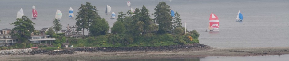
I was so excited about what I could do walking I wanted to see what would happen with the Every Trail when I was driving. I had to go over to Seattle for a dinner with several of my students from my HCDE class so I took the opportunity to take several pictures along the way to the ferry, some photos from the ferry, and a few photos on the way to the restaurant. See the results on the web.


That is starting to look like way too much fun. I could spend far too much time with that app…